Your Mission, Project Thinker
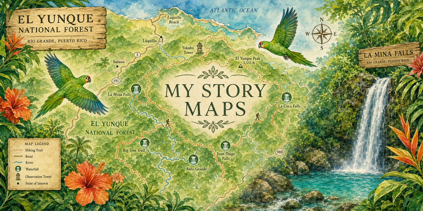
Welcome to the Station! You are a rainforest researcher. Your job: build an ArcGIS StoryMap that tells the true story of El Yunque — a tropical rainforest in Puerto Rico, and the only tropical rainforest in the whole U.S. national forest system!
Everything you need is here at the Station: animals and plants to discover, news about how the forest is changing, videos to watch, and step-by-step help for building your map. Find facts and pictures you like, copy them, and use them in your StoryMap.
Welcome to the Station. You are a rainforest researcher, and your mission is to build an ArcGIS StoryMap about El Yunque National Forest in Puerto Rico — the only tropical rainforest in the U.S. National Forest System, home to the coquí frog and the endangered Puerto Rican parrot.
Every wing of the Station was gathered from trusted sources like the U.S. Forest Service, so you can research freely: study the species, follow the climate story, watch the films, and use StoryMap HQ when you're ready to build. Every fact block has a Copy for your StoryMap button that brings its source along — that's how real researchers give credit.
Welcome to the Station! You are a rainforest researcher. Your job: build an ArcGIS StoryMap that tells the true story of the Hoh Rain Forest — a forest in Washington State where it rains more than 12 feet every year!
Everything you need is here at the Station: animals and plants to discover, news about how the forest is changing, videos to watch, and step-by-step help for building your map. Find facts and pictures you like, copy them, and use them in your StoryMap.
Welcome to the Station. You are a rainforest researcher, and your mission is to build an ArcGIS StoryMap about the Hoh Rain Forest — one of the largest temperate rainforests in the United States, with roughly 140 inches of rain a year.
Every wing of the Station was gathered from trusted sources like the National Park Service, so you can research freely: study the species, follow the climate story, watch the films, and use StoryMap HQ when you're ready to build. Every fact block has a Copy for your StoryMap button that brings its source along — that's how real researchers give credit.
The field guide to 24 living things of El Yunque — from the singing coquí to the endangered Puerto Rican parrot. Photos you can download, facts you can copy.
Open the field guide →The Station's news desk. Big stories about how climate change is reshaping El Yunque — fiercer hurricanes, a warming forest, and the scientists fighting back.
Read today's news →El Yunque films and StoryMap how-to videos, hand-picked for the Station. Grab a seat — every film passed ranger inspection.
Enter the theater →Stuck? HQ has your back: how to sign in, start a story, build an Express Map, add pictures, and publish like a pro.
Get help building →The field guide to 32 living things of the Hoh — from Roosevelt elk to banana slugs. Photos you can download, facts you can copy.
Open the field guide →The Station's news desk. Big stories about how climate change is reshaping the Hoh — melting glaciers, shrinking snow, and the scientists fighting back.
Read today's news →Hoh films and StoryMap how-to videos, hand-picked for the Station. Grab a seat — every film passed ranger inspection.
Enter the theater →Stuck? HQ has your back: how to sign in, start a story, build an Express Map, add pictures, and publish like a pro.
Get help building →