Back to the Research Station

📍 Find It on the Map

Our two rainforests sit in very different corners of the United States

One rainforest is way up in the cool, rainy northwest. The other is on a warm island in the Caribbean Sea. They are about 3,800 miles apart — but both fly the same flag. These two rainforests are roughly 3,800 miles apart: the Hoh sits in the Pacific Northwest, while El Yunque is a tropical island forest in the Caribbean. Both are U.S. public lands.

🌴 El Yunque · Puerto Rico
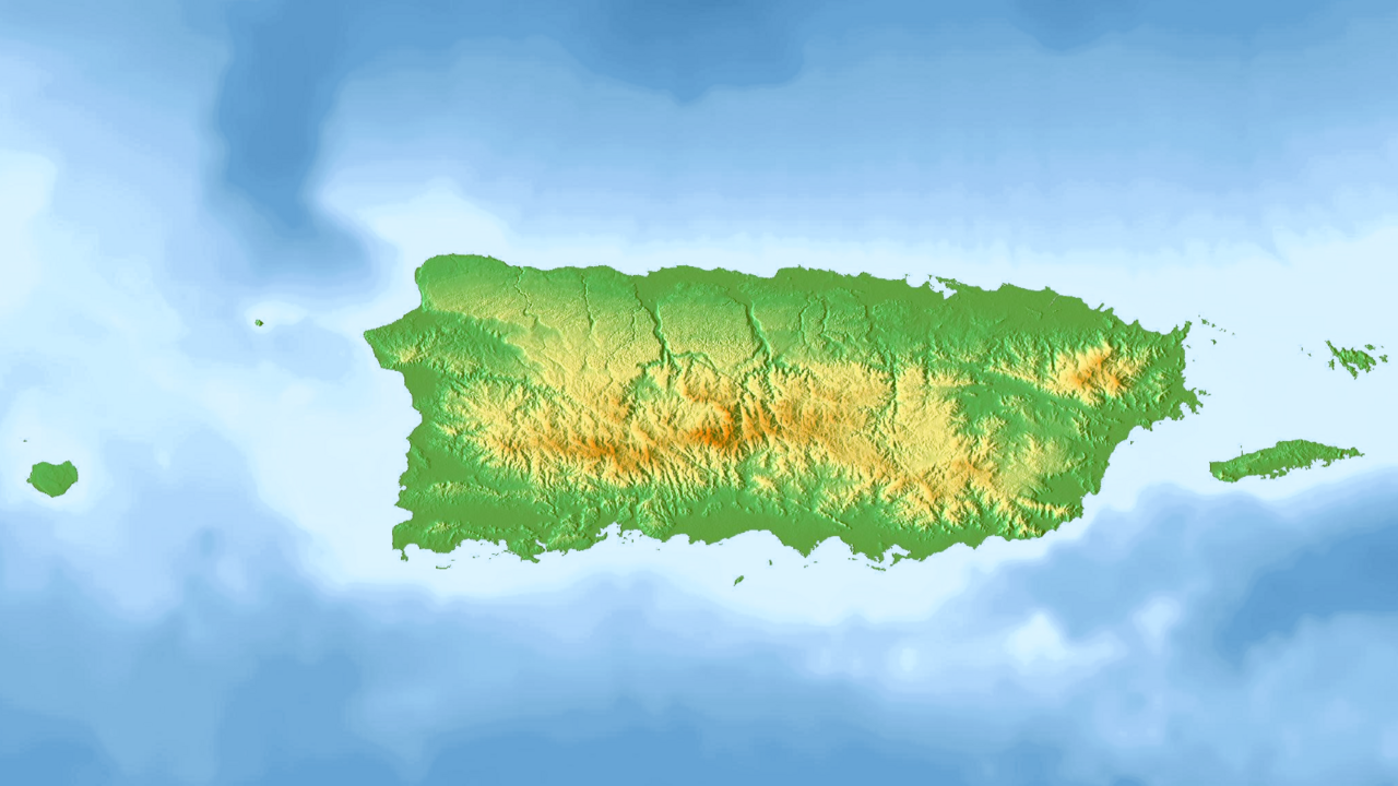
Topographic map of Puerto Rico El Yunque

El Yunque is in the northeast corner of Puerto Rico, just east of the big city of San Juan. Puerto Rico is an island, so the ocean is never far away!

El Yunque National Forest sits in the Sierra de Luquillo in northeastern Puerto Rico, east of San Juan — where warm, wet Atlantic air rises over the peaks and falls as tropical rain.

Find it on YOUR map: in your StoryMap's Express Map, search El Portal Visitor Center, El Yunque, Puerto Rico.

Map: GrandEscogriffe, Wikimedia Commons (CC BY-SA 4.0).
🌳 Hoh Rain Forest · Washington
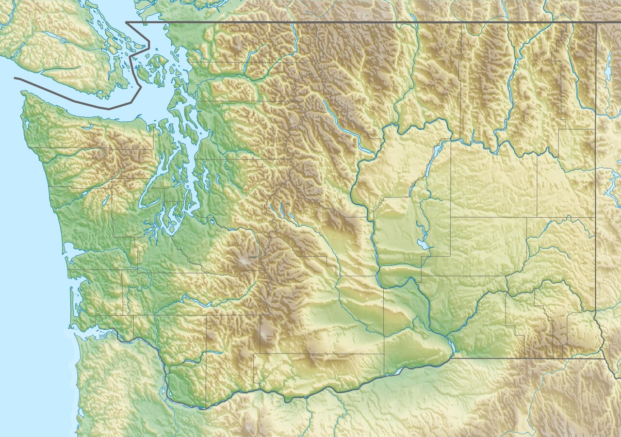
Relief map of Washington State Hoh

The Hoh is in the far northwest corner of Washington State, on a bump of land called the Olympic Peninsula, between tall mountains and the Pacific Ocean.

The Hoh Rain Forest lies on the western Olympic Peninsula of Washington State, west of Seattle, where wet Pacific air rises against the Olympic Mountains and falls as over 12 feet of rain a year.

Find it on YOUR map: in your StoryMap's Express Map, search Hoh Rain Forest Visitor Center, Washington.

Map: Carport, Wikimedia Commons (CC BY-SA 3.0).

🗺️ Want a real, zoomable map?

Open the interactive ArcGIS maps Mr. Tanner made — pan, zoom, and explore the real forest. (These open in ArcGIS and need the internet.)

You'll build your own real, zoomable map in ArcGIS — see StoryMap HQ, Mission 3.